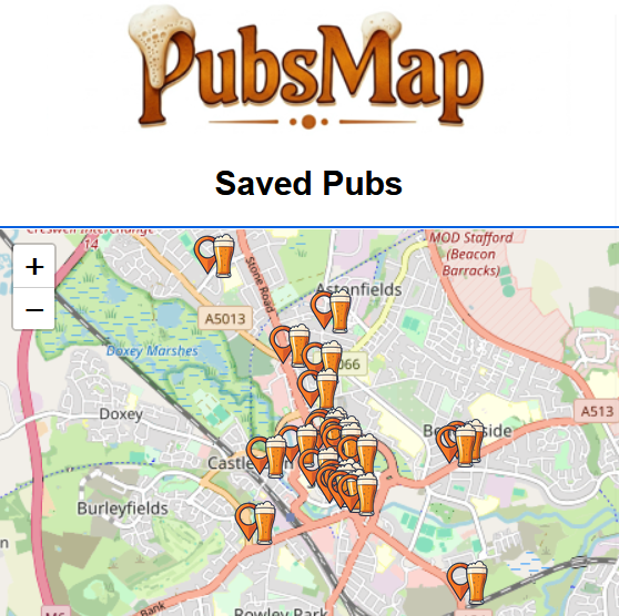
My idiot project to map all the pubs in the UK, not by just adding pubs from Brewery lists, but by getting actual real people to go and visit them.
Nearly 1000 added so far, by a small team of dedicated drinkers.

My idiot project to map all the pubs in the UK, not by just adding pubs from Brewery lists, but by getting actual real people to go and visit them.
Nearly 1000 added so far, by a small team of dedicated drinkers.
Bloody ages ago I offered to redo the dayboat maps for Norbury Wharf. I bet they’ve forgotten about it – I had.
Continue reading Norbury Wharf Dayboat Hire Maps
Lands End to John O Groats is a famous road trip, and the Scottish North Coast 500 gets a lot of press, but what of other drives, ones you can do in a day (or an afternoon if you feel like it)?
Well, how about a Lancashire Coast drive?
Since the ’80s, the plaintiff cry of the displaced Northerner has been “I wish I was in Greenhall Whitley Land!” Vis:
So, after a bit of re-drawing the lines, this is what the new Stafford Constituency looks like in the run up to the 2014 General Election…
Continue reading Stafford Parliamentary Constituency Map 2024
It can be hard at times to define where The North is. Luckily, back in ancient times, two noted geographic scholars, William Ernest Drummond and James Francis Cauty, published a justified tract, listing places that were in the north,
Here I shall explore that work in full.
Back when I got tired of people stealing my work mapping the Canals and Waterways of the UK (and got utterly pissed off with the changes to Google Maps that madeit unworkable), someone took a copy and put it on Github.
As I work in a job which is overseen by the local Borough Council, I thought it might be a good idea to work out exactly what their area of remit was, as sometimes they don’t seem to know.
Continue reading full post…
If you’ve ever wondered what the current boundary for the Stafford Parliamentary Constituency is, well I’ve made a map thing for you.
Continue reading full post…
By continuing to use the site, you agree to the use of cookies. more information
The cookie settings on this website are set to "allow cookies" to give you the best browsing experience possible. If you continue to use this website without changing your cookie settings or you click "Accept" below then you are consenting to this.